 GDU
GDU
 DJI
DJI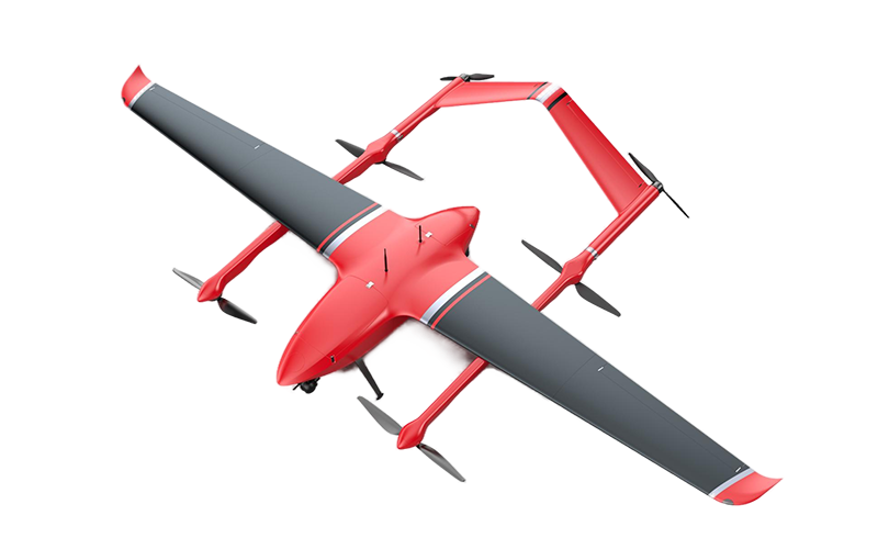 MMC
MMC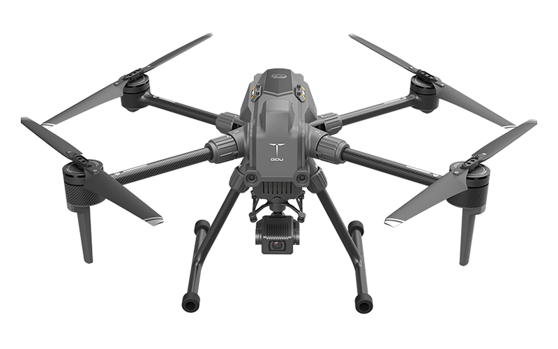 GDU
GDU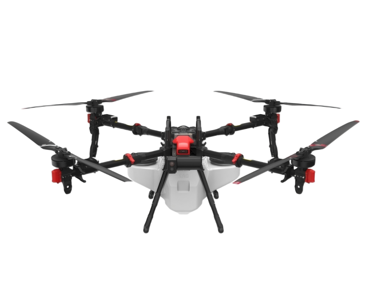 XAG
XAG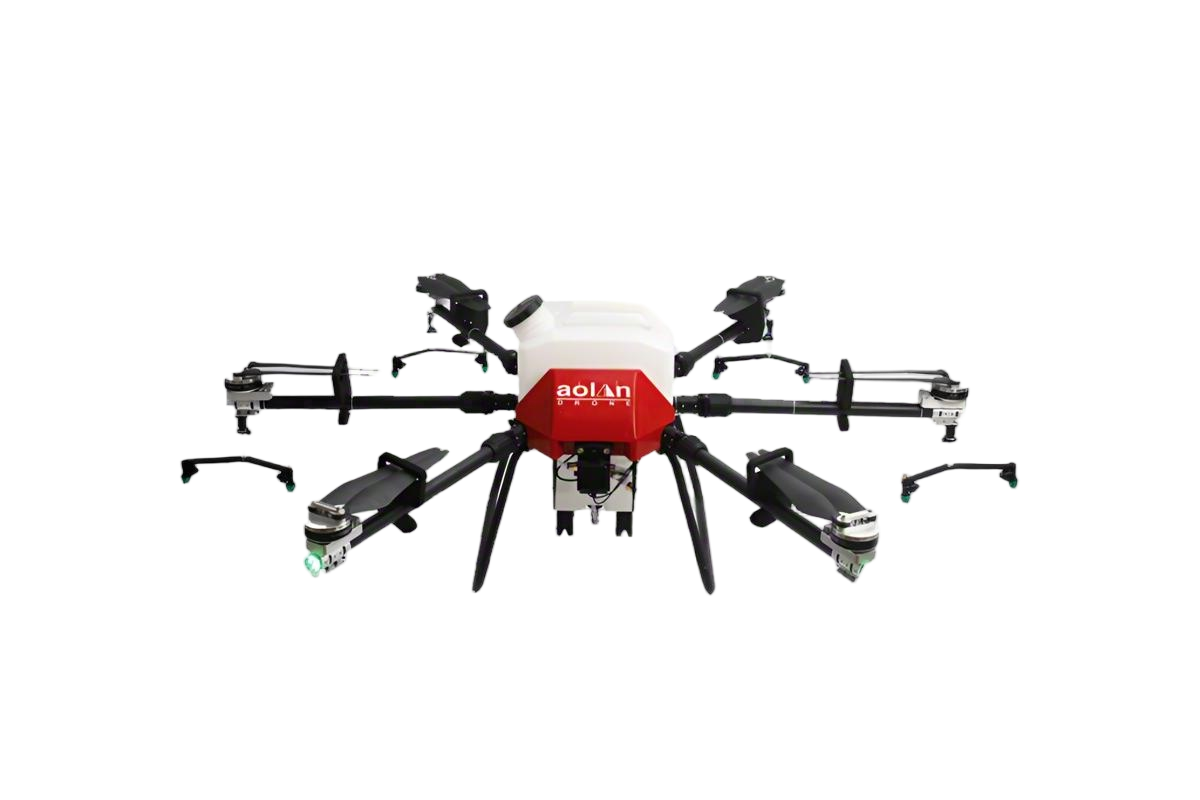 AOLAN
AOLAN KEEL
KEEL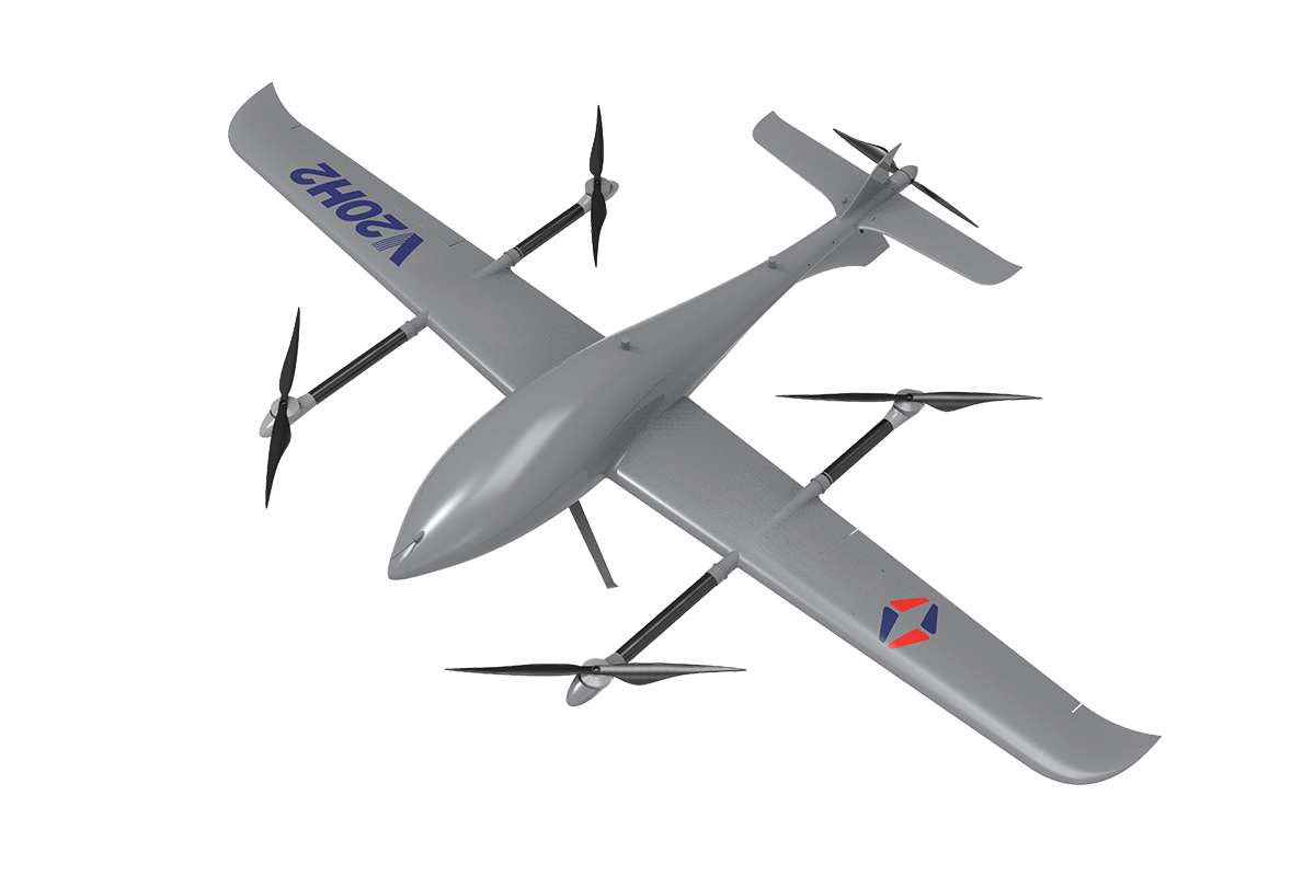 SKY NEXT
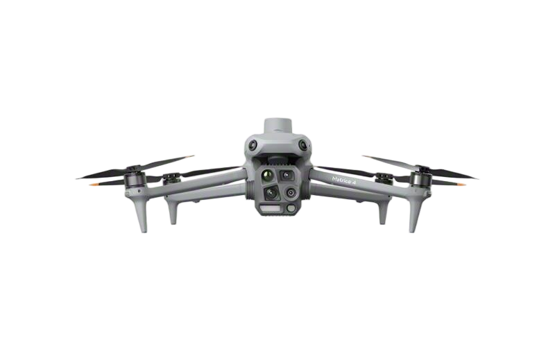
- DJI Matrice-4T
- DJI Matrice 4E Drone
- DJI Matrice 4TD
- DJI Matrice 30T
- DJI Mavic 3 Emterprise
- DJI Mavic 3M Multispectral Drone
- DJI RC 2 Plus Industry Plus
- DJI Matrice 4 Series Battery
- DJI Matrice 4D Series Batteries
- TB65 Intelligent Flight Battery
- TB100 Smart Flight Battery
- WB37 Battery
- DJI Accessories


Custom Mapping Lidar Drones by Top Manufacturers for Precision Surveys
As a professional in the field, I understand the importance of precision and efficiency in mapping. That's why I'm excited to present our Mapping Lidar Drone, designed specifically for custom applications. This drone is not just another flying device; it's a cutting-edge tool that transforms how businesses capture spatial data. Working with top manufacturers, we ensure our drones are equipped with the latest technology to provide accurate and reliable mapping solutions. Whether you’re in construction, urban planning, or environmental monitoring, our custom solutions adapt to your unique needs. With easy integration into your existing workflows, the Mapping Lidar Drone allows for seamless data collection and processing. Embrace the future of mapping with a product that prioritizes accuracy, reliability, and customization. Let’s elevate your projects together with our state-of-the-art technology, making your work not just easier, but smarter. Reach out today to explore how our drones can be tailored to fit your specific requirements!


Mapping Lidar Drone Factory-Direct Excellence Service Backed by Expertise
In today's rapidly advancing technological landscape, mapping applications utilizing LiDAR drones have emerged as a game-changer in various industries. With the capability to produce high-resolution 3D maps and models, these drones not only enhance data collection efficiency but also provide unparalleled accuracy for projects ranging from urban planning to environmental assessments. Our factory-direct excellence ensures that each drone is manufactured with precision, integrating cutting-edge technology to deliver optimum performance in diverse conditions. What sets our services apart is the expertise that backs our products. Our team consists of seasoned professionals with years of experience in the field of aerial mapping and data analytics. This wealth of knowledge translates into comprehensive support for our clients, ensuring they harness the full potential of our LiDAR drones. From initial consultation to post-purchase service, we are committed to delivering exceptional customer experiences, helping global buyers make informed decisions tailored to their specific project needs. Embracing innovation is key in maintaining a competitive edge in today's market. By partnering with us, procurement professionals can access not only state-of-the-art LiDAR drone technology but also a dedicated service framework that prioritizes quality and reliability. Our commitment is to provide procurement solutions that empower our clients with the tools they need to succeed in their endeavors, paving the way for future advancements in mapping technology worldwide.
Mapping Lidar Drone Factory-Direct Excellence Service Backed by Expertise
| Dimension | Description | Value |
|---|---|---|
| Lidar Type | High-precision lidar system | 300m range |
| Drone Model | Fixed-wing drone | High endurance |
| Sensor Resolution | Point cloud accuracy | 5 cm |
| Data Output Format | Vector and Raster | LAS, GeoTIFF |
| Flight Stability | Wind tolerance | 20 m/s |
| User Support | Technical assistance | 24/7 Availability |
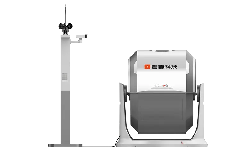
Related Products


Mapping Lidar Drone Ahead of the Curve Outperforms the Competition
Top Selling Products


- Related Blog
- Reviews
- Reviews
