 GDU
GDU
 DJI
DJI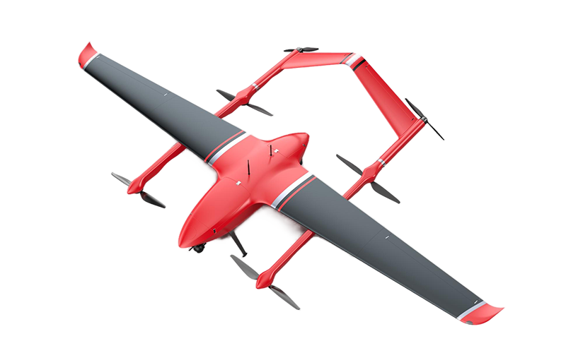 MMC
MMC GDU
GDU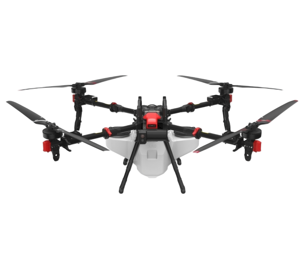 XAG
XAG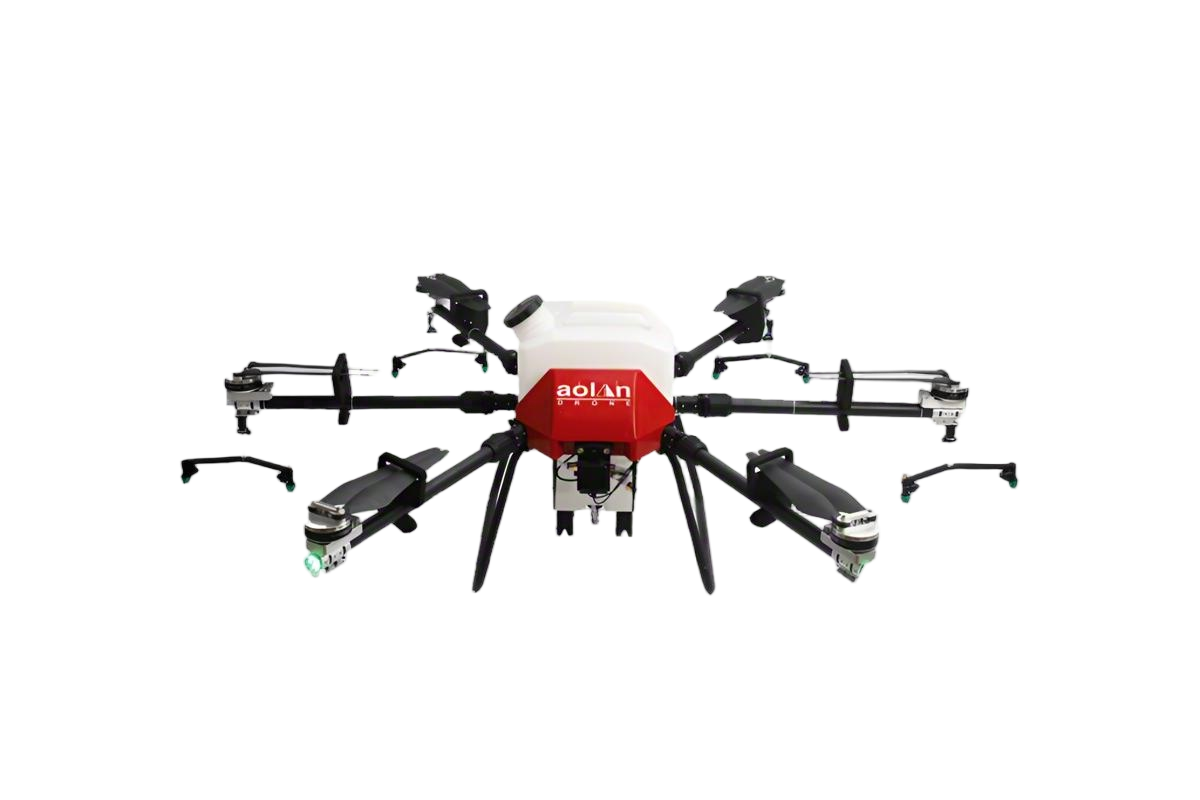 AOLAN
AOLAN KEEL
KEEL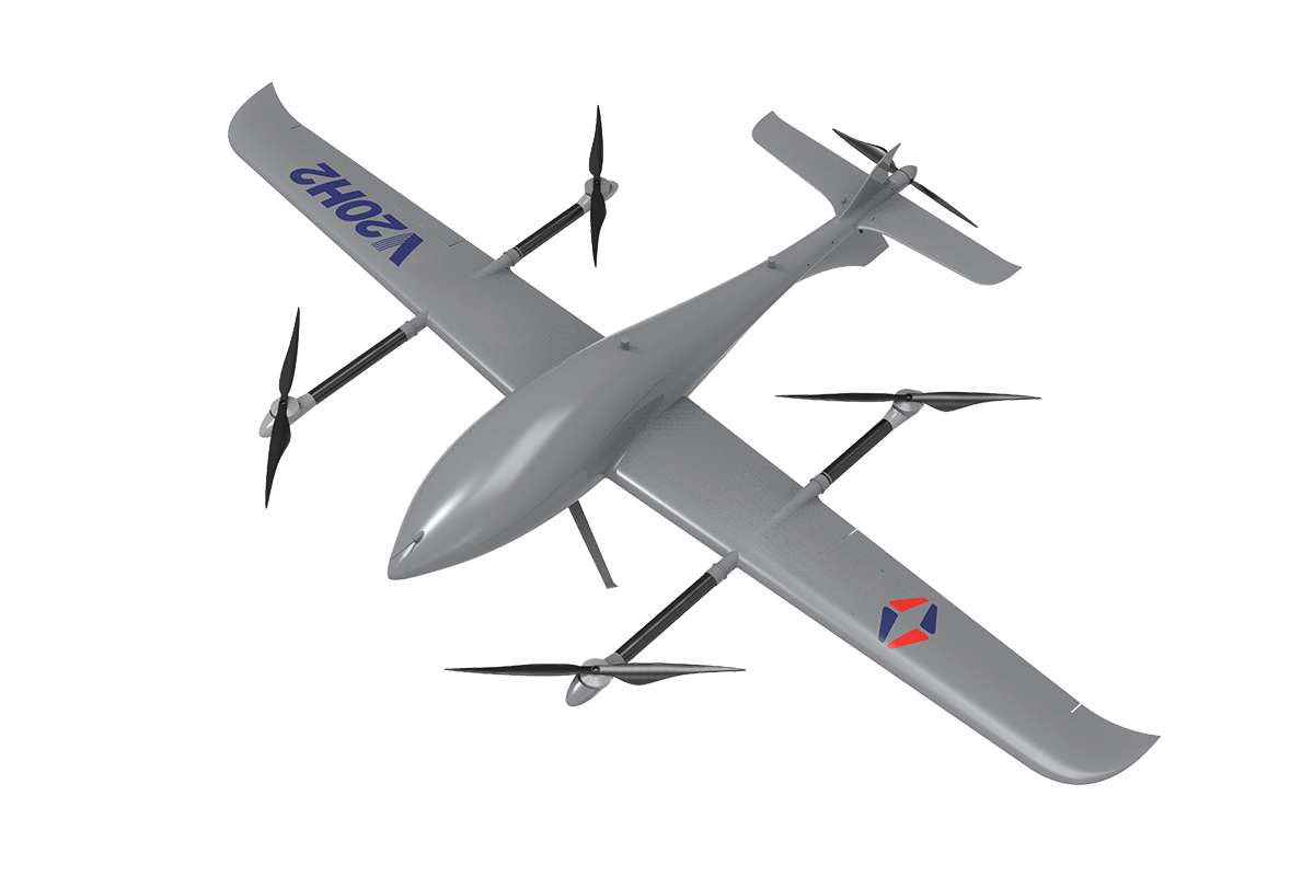 SKY NEXT
- DJI Matrice-4T
- DJI Matrice 4E Drone
- DJI Matrice 4TD
- DJI Matrice 30T
- DJI Mavic 3 Emterprise
- DJI Mavic 3M Multispectral Drone
- DJI RC 2 Plus Industry Plus
- DJI Matrice 4 Series Battery
- DJI Matrice 4D Series Batteries
- TB65 Intelligent Flight Battery
- TB100 Smart Flight Battery
- WB37 Battery
- DJI Accessories

Jupiter V20H2: The All-Terrain Guardian for Forestry Patrol
Jupiter V20H2 Forestry Drone: Precision and Adaptability in Wild Environments
Rapid-Swap Payload System for Multispectral, Oblique, and EO/IR Missions in Harsh Conditions.

Jupiter V20H2 Forestry Drone: Precision and Adaptability in Wild Environments
Rapid-Swap Payload System for Multispectral, Oblique, and EO/IR Missions in Harsh Conditions.
Superior Performance in Complex Transition Zones
Effortless operation across diverse landscapes, from open grasslands to industrial peripheries, ensuring reliable data collection in challenging environments.
Learn More >>

Superior Performance in Complex Transition Zones
Effortless operation across diverse landscapes, from open grasslands to industrial peripheries, ensuring reliable data collection in challenging environments.
Learn More >>
Rapid-Deployment Capability for On-Demand Missions
Quick-setup design enables fast deployment in field conditions, providing immediate aerial support for time-sensitive patrol and inspection tasks.

Rapid-Deployment Capability for On-Demand Missions
Quick-setup design enables fast deployment in field conditions, providing immediate aerial support for time-sensitive patrol and inspection tasks.
Why Choose V20H2 ?

Unmatched Flight Endurance & Efficiency
With up to 3.5 hours of standard operational flight time, the Jupiter V20H2 ensures extensive area coverage in a single mission, significantly improving patrol efficiency.
Robust Performance in Demanding Environments
High Flexibility with Modular Payload Design
The quick-swap mission bay supports various professional systems—including RGB, oblique, multispectral, and EO/IR—enabling rapid adaptation to diverse forestry monitoring needs.
Durable & Lightweight Engineering for Easy Deployment
-
Constructed from high-strength composite materials and featuring a quick-assembly design, it combines a max takeoff weight of 10.5 kg with exceptional portability and field readiness.

Seamless Operation in Complex Transition Zones
The image demonstrates the V20H2's exceptional capability for stable and precise take-off/landing in confined grassy areas, enabling seamless deployment between rural fields and nearby industrial or urban environments.
See the Unseeable: Enhance Forest Patrol with Thermal Precision
Equip your team with the Jupiter V20H2's thermal imaging to see through smoke and darkness, significantly improving your ability to prevent disasters and conduct rescue missions day or night.
Real-Time Thermal Surveillance: See Through Smoke and Foliage

Unmatched 24/7 Surveillance Capability
Equipped with a high-sensitivity infrared imager, it provides clear thermal data and enables effective operations around the clock, ensuring continuous day and night monitoring.

Precision Data Acquisition in Complex Environments
The integrated laser rangefinder delivers exact distance and coordinate information, allowing for actionable intelligence gathering even through dense foliage or adverse weather conditions.
Specs of V20H2
| Specification | Details |
| Maximum Takeoff Weight | 10.5 kg |
| Level Flight Speed | 18-35 m/s |
| Cruising Speed | 19 m/s |
| Endurance | 3.5 hours |
| Service Ceiling | 5,000 meters |
| Operating Temperature | -20°℃ to 45°C |
| Airframe Material | Aerospace Carbon Fiber Composite Material |
| Wind Resistance Rating | Takeoff/Landing: Level 5, Flight: Level 6 |
Application

Forest Fire Prevention and Ecological Monitoring


