 GDU
GDU
 DJI
DJI MMC
MMC GDU
GDU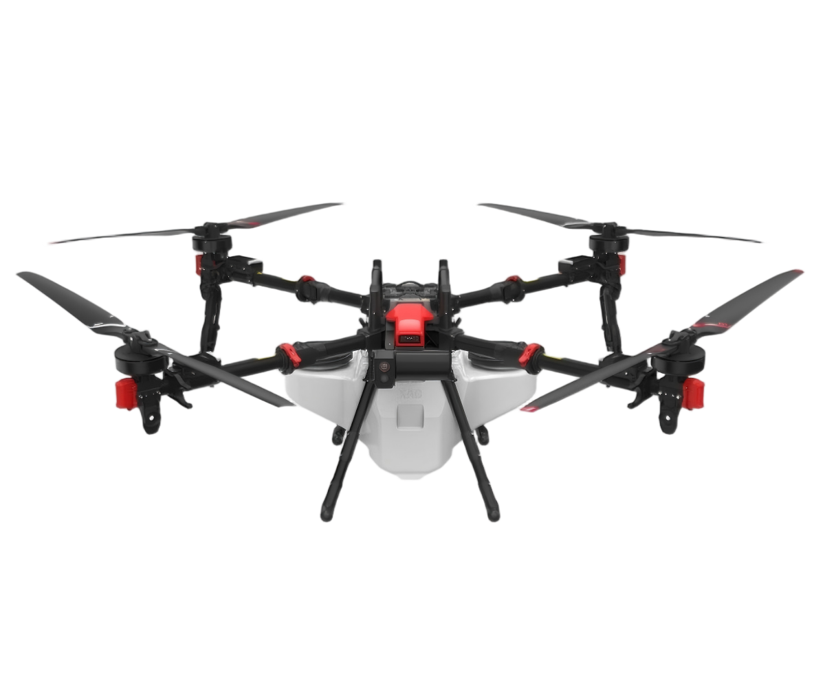 XAG
XAG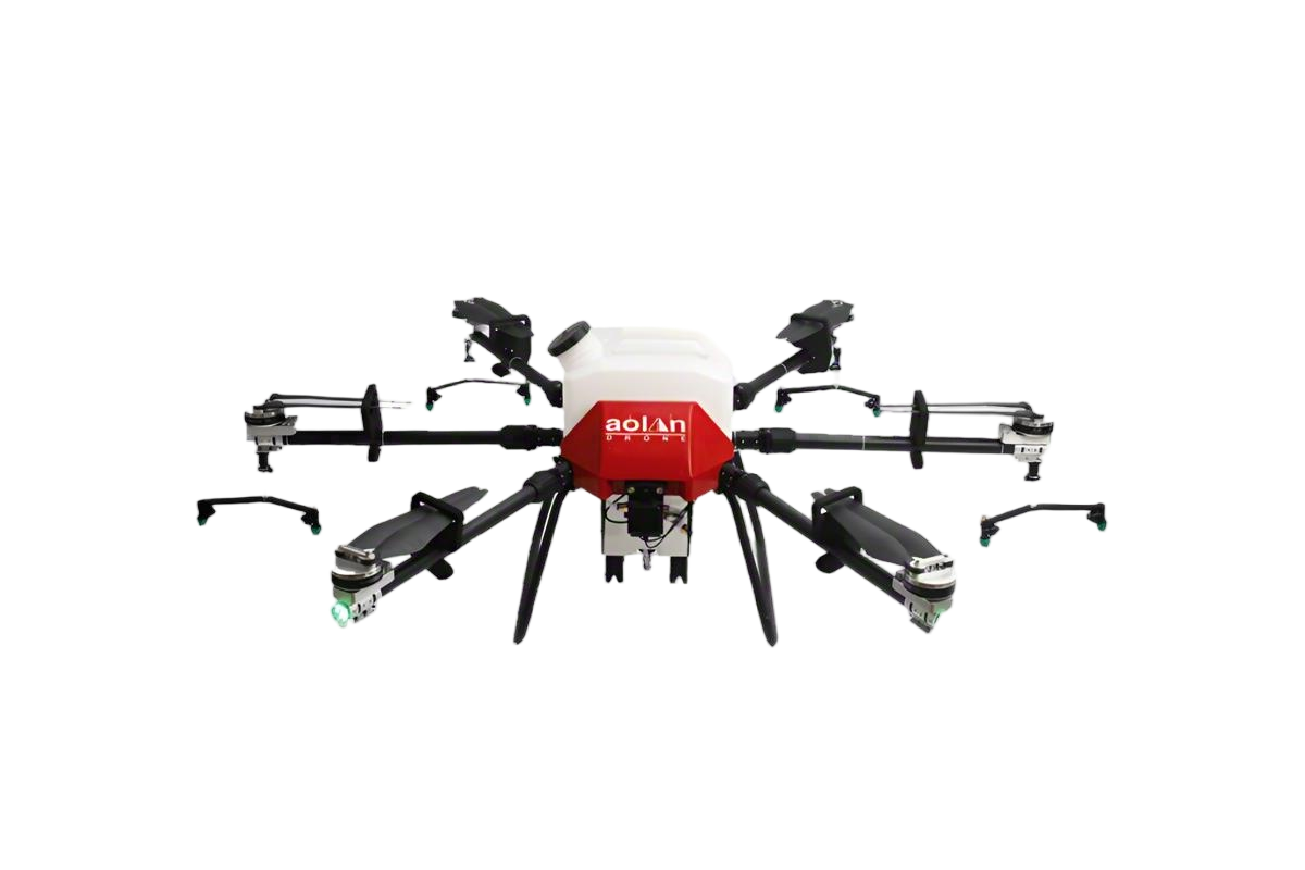 AOLAN
AOLAN KEEL
KEEL SKY NEXT
- DJI Matrice-4T
- DJI Matrice 4E Drone
- DJI Matrice 4TD
- DJI Matrice 30T
- DJI Mavic 3 Emterprise
- DJI Mavic 3M Multispectral Drone
- DJI RC 2 Plus Industry Plus
- DJI Matrice 4 Series Battery
- DJI Matrice 4D Series Batteries
- TB65 Intelligent Flight Battery
- TB100 Smart Flight Battery
- WB37 Battery
- DJI Accessories


Wholesale Drone Lidar Solutions from Leading Manufacturers
As someone deeply engaged in the world of precision mapping, I know the importance of accurate data. That’s why I’m excited to offer our advanced drone lidar systems, perfect for wholesale purchasing. These high-performance devices are engineered to deliver detailed 3D models and topographical maps, making them ideal for various industries like construction, agriculture, and environmental monitoring. I've seen firsthand how partnering with a reputable manufacturer can transform your projects. Our drone lidar units come equipped with cutting-edge technology, ensuring robust performance and unmatched reliability. Whether you’re looking to enhance your surveying capabilities or streamline operations, our products provide the perfect solution. With competitive pricing and bulk order options, you can easily integrate our drone lidar into your offerings and elevate your service quality. Let’s connect and explore how our innovative solutions can meet your business needs while helping you stay ahead in the competitive market.


Drone Lidar Stands Out Dominates
In the rapidly evolving landscape of technology, drone LiDAR has emerged as a game-changer, redefining the way industries approach data collection and analysis. The unique advantages of combining drone technology with LiDAR capabilities position this solution as a leader in precision mapping and surveying. With the ability to capture detailed three-dimensional data quickly and efficiently, enterprises are finding innovative applications across diverse sectors, from construction and agriculture to environmental monitoring and urban planning. Global procurement professionals are increasingly keen on integrating drone LiDAR systems into their operations. The efficiency and cost-effectiveness of these drones not only enhance project timelines but also improve overall accuracy in data acquisition. This technology enables procurement managers to make informed decisions based on comprehensive insights, leading to optimized resource allocation and reduced risk. As the demand for high-quality, real-time data continues to rise, the adaptability and reliability of drone LiDAR technology stand out, making it an essential asset for businesses aiming to stay competitive in today's market. As industries continue to embrace digital transformation, the integration of drone LiDAR technology is set to dominate future operations. Organizations looking to enhance their data capabilities will benefit from the precision and versatility that this innovative solution offers. By prioritizing investments in advanced technologies like drone LiDAR, businesses can not only streamline their processes but also unlock new growth opportunities in an increasingly data-driven world.
Drone Lidar Stands Out Dominates
| Dimension | Value |
|---|---|
| Scanning Range | 1000 m |
| Point Density | 300 pts/m² |
| Accuracy | ± 2 cm |
| Weight | 3.5 kg |
| Battery Life | 45 minutes |
| Operational Temperature | -10°C to 40°C |
| Data Output Format | LAS, LAZ, PLY |
Related Products


Drone Lidar Market Leader Pioneers in the Field
Top Selling Products


- Related Blog
- Reviews
- Reviews
