 GDU
GDU
 DJI
DJI MMC
MMC GDU
GDU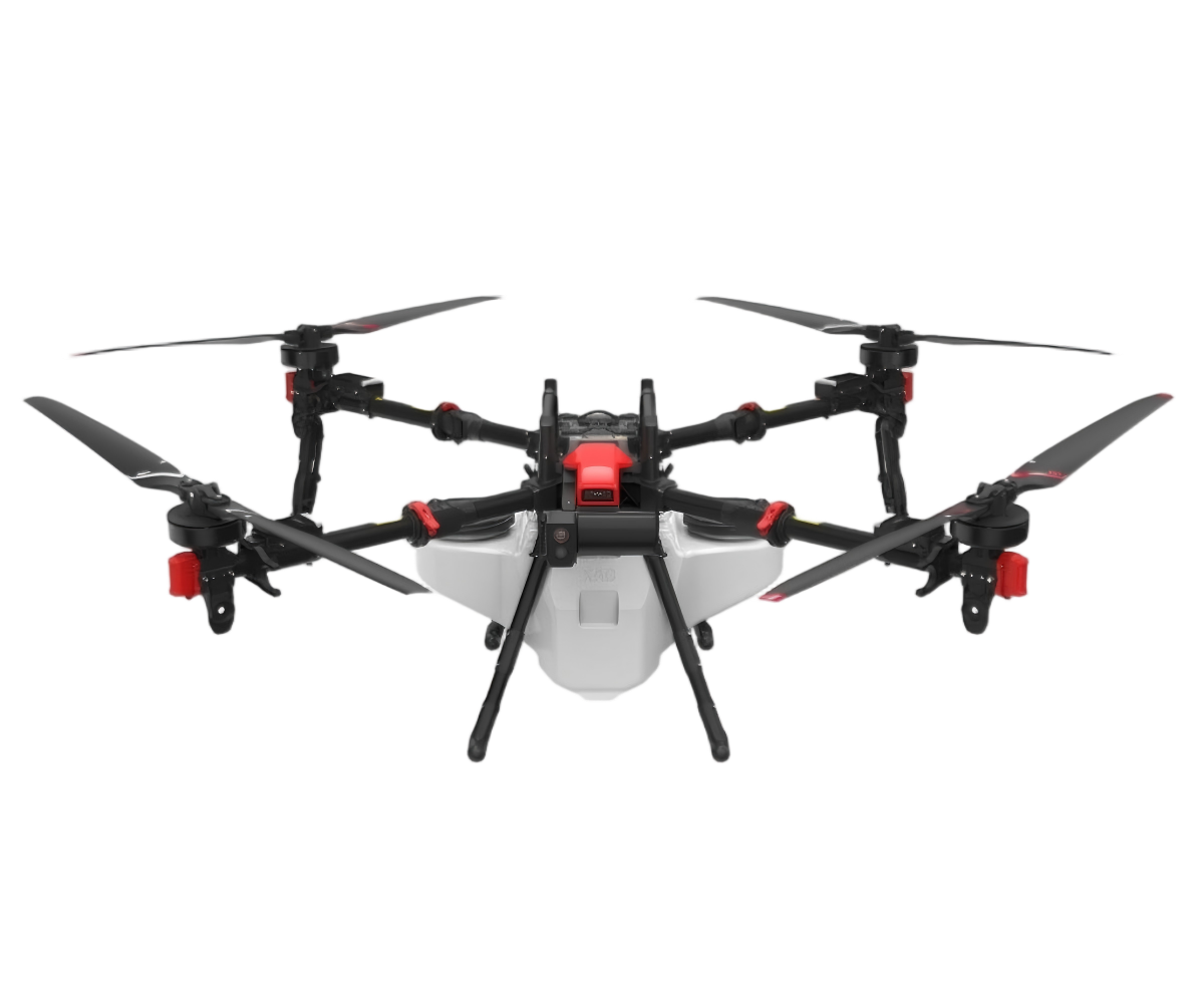 XAG
XAG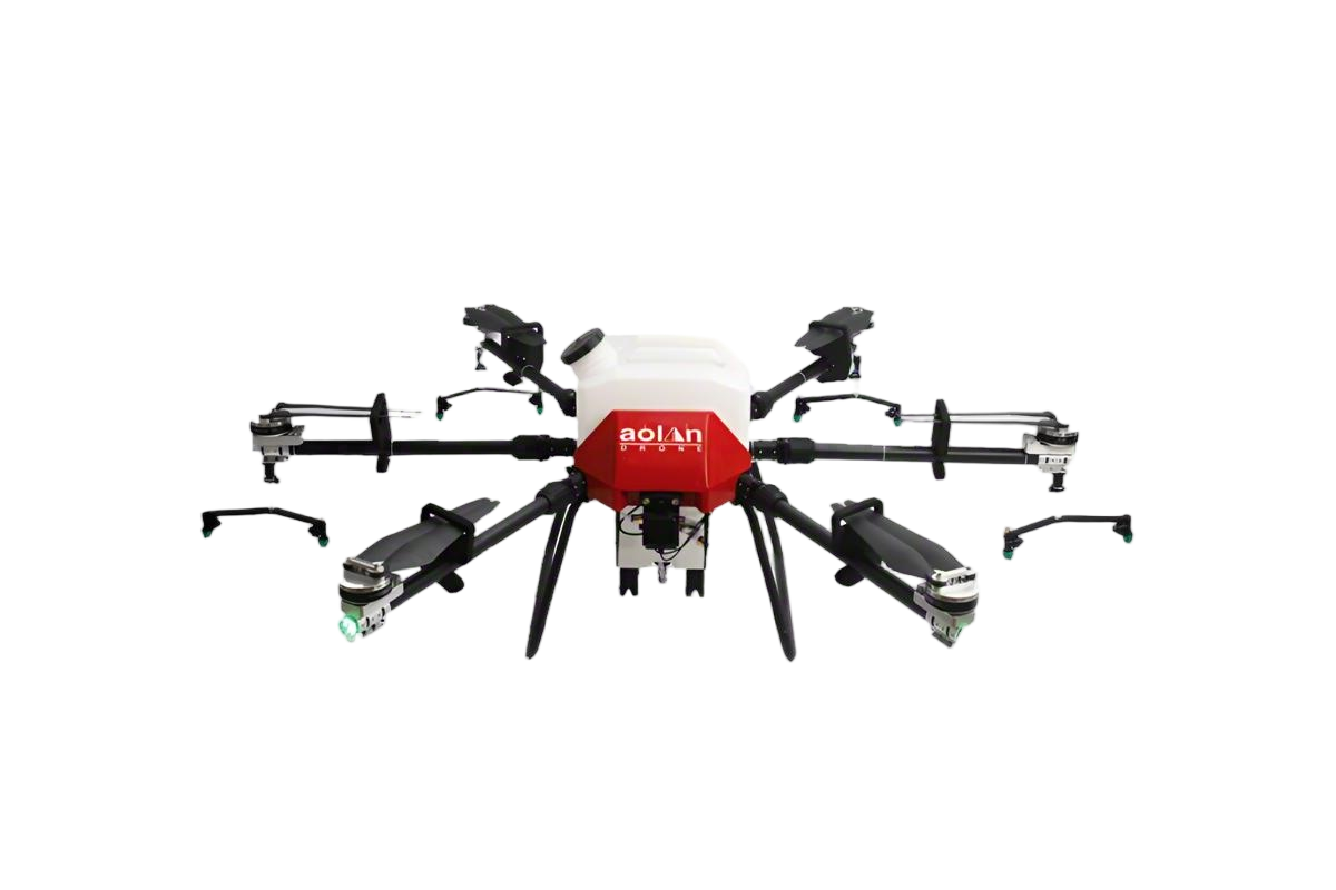 AOLAN
AOLAN KEEL
KEEL SKY NEXT
- DJI Matrice-4T
- DJI Matrice 4E Drone
- DJI Matrice 4TD
- DJI Matrice 30T
- DJI Mavic 3 Emterprise
- DJI Mavic 3M Multispectral Drone
- DJI RC 2 Plus Industry Plus
- DJI Matrice 4 Series Battery
- DJI Matrice 4D Series Batteries
- TB65 Intelligent Flight Battery
- TB100 Smart Flight Battery
- WB37 Battery
- DJI Accessories

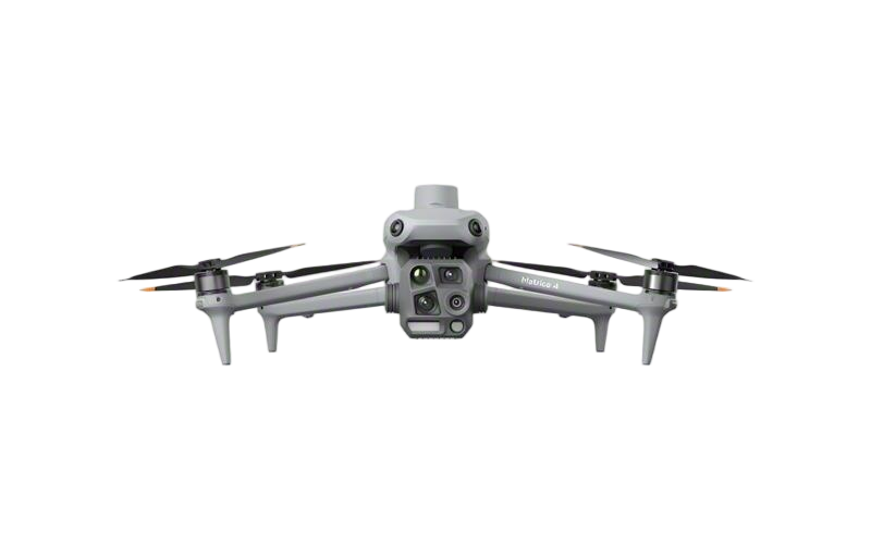
DJI Matrice 4E Drone
Speed Redefined: High-Velocity Mapping with Unmatched Efficiency
Featuring a wide-angle camera for 0.5-second timed capture in multiple modes and mapping speeds up to 21 m/s, the Matrice 4E delivers rapid, multi-angle aerial surveys that maximize operational productivity.

Speed Redefined: High-Velocity Mapping with Unmatched Efficiency
Featuring a wide-angle camera for 0.5-second timed capture in multiple modes and mapping speeds up to 21 m/s, the Matrice 4E delivers rapid, multi-angle aerial surveys that maximize operational productivity.
Matrice 4E: Redefine Aerial Precision
Engineered for Surveying Excellence — Automate high-detail data capture, achieve rapid inspection turnaround, and execute complex missions with unmatched efficiency and safety.
Learn More >>

Matrice 4E: Redefine Aerial Precision
Engineered for Surveying Excellence — Automate high-detail data capture, achieve rapid inspection turnaround, and execute complex missions with unmatched efficiency and safety.
Learn More >>
Close to photography, fine modeling
Automate close-range, fine-detailed surveys of complex structures directly from on-site models, with full visual mission previews for safety and precision.

Close to photography, fine modeling
Automate close-range, fine-detailed surveys of complex structures directly from on-site models, with full visual mission previews for safety and precision.
Why Professionals Choose DJI Matrice 4E Drone ?
Unprecedented Efficiency in Complex Structure Mapping
It automates detailed close-range surveys directly from on-site 3D models, transforming multi-day specialized inspections into single-visit completions.
High-Speed, High-Resolution Aerial Survey Capability
Equipped for rapid, multi-angle data capture at speeds up to 21 m/s, it delivers comprehensive aerial surveys with maximum efficiency and minimal downtime.
Enhanced Operational Safety and Mission Assurance
Integrated visual route and waypoint previews allow for thorough pre-flight safety checks and coverage validation, significantly reducing operational risk.
Intelligent End-to-End Workflow Integration
From rapid model generation to automated flight planning and execution, it provides a seamless, intelligent workflow that elevates data accuracy and project turnaround.

Long-Range Transmission
Using the included RC Plus 2 remote controller, drone control and live video feed can be sent successfully from up to 15.5 miles away. This is due to the O4 Enterprise transmission system, the Matrice 4E's eight-antenna system, and RC Plus 2's high-gain antenna. This system even supports fast image transfer with download speeds of up to 20 MB/s.
Night Scene Mode
Matrice 4 series night scene mode is a powerful upgrade.Full-color night vision supports three modes to choosefrom, and provides two levels of enhanced noisecancellation options. Black and white night visioncombined with near-infrared fill light can easily breakthrough the limitations of the dark night, making thesearch and rescue target clear at a glance.
Omnidirectional low-light sensing
The Matrice 4 series is equipped with six high-resolution low-light fisheye vision sensors, which significantly improve visual low-light positioning and obstacle avoidance capabilities, enabling automatic obstacle avoidance, intelligent detour, and safe return in low-light urban environments.

Automated exploration modeling
Matrice 4E can be used with Magic Calculation 3 and supports automatic discovery modeling. Relying on the powerful computing power of Miaosuan 3, the drone can automatically plan a safe flight path around the modeling target and build a preliminary spatial model in real time and send it back to the remote control, simplifying the short-range photogrammetry process and improving operational efficiency.

Distortion correction and improved accuracy
Specs of DJI Matrice 4E Drone
| Specification | Details |
Aircraft Platform |
|
| Weight | |
| Bare weight (with standard propellers) | 1219 g (incl. battery, propellers, microSD card) |
| Bare weight (with quiet propellers) | 1229 g |
| Max takeoff weight | 1420 g (standard propellers) / 1430 g (quiet propellers) |
| Dimensions | |
| Unfolded | 307.0 × 387.5 × 149.5 mm |
| Folded | 260.6 × 113.7 × 138.4 mm |
| Wheelbase | 438.8 mm (diagonal) |
| Max Payload | 200 g |
| Propeller | 10.8-inch (1157F standard / 1154F quiet) |
| Flight Performance | |
| Speed | |
| Max ascent speed | 10 m/s (6 m/s with accessories) |
| Max descent speed | 8 m/s (6 m/s with accessories) |
| Max horizontal speed (sea level, no wind) | 21 m/s (sport mode; EU limited to 19 m/s) |
| Altitude | |
| Max takeoff altitude | 6000 m |
| Max operating altitude (with accessories) | 4000 m |
| Endurance | |
| Max flight time (no wind, empty) | 49 mins (standard propellers) / 46 mins (quiet propellers) |
| Max hover time (no wind) | 42 mins (standard) / 39 mins (quiet) |
| Max range (no wind) | 35 km (standard) / 32 km (quiet) |
| Environmental Resistance | |
| Max wind resistance | 12 m/s (takeoff/landing phase) |
| Max tilt angle | 35° |
| Operating temperature | -10°C to 40°C (no solar radiation) |
| Positioning & Navigation | |
| GNSS | GPS + Galileo + BeiDou + GLONASS (GLONASS active only with RTK enabled) |
| Hover Accuracy (no wind) | |
| Visual positioning | ±0.1 m (vertical) / ±0.3 m (horizontal) |
| GNSS | ±0.5 m (vertical/horizontal) |
| RTK | ±0.1 m (vertical/horizontal) |
| RTK Positioning Accuracy (fixed solution) | |
| Horizontal | 1 cm + 1 ppm; Vertical: 1.5 cm + 1 ppm |
Sensing & Communication |
|
| Perception System | 6 high-definition low-light fisheye visual sensors (full-directional obstacle avoidance) + bottom 3D infrared sensor |
| Transmission | DJI O4+ Enterprise Link (8-antenna adaptive system) |
| Max transmission distance | 25 km (no interference/obstruction) |
| Optional 4G enhanced transmission for urban complex scenarios | |
Payload System (Cameras & Sensors) |
|
| Cameras | |
| Wide-Angle Camera | |
| Sensor | 4/3 CMOS, 20 MP effective pixels |
| Lens | 84° FOV, 24 mm equivalent focal length, f/2.8–f/11 aperture |
| Shutter: Electronic (2 s to 1/8000 s) | Mechanical (2 s to 1/2000 s) |
| Max photo size | 5280 × 3956 |
| Medium Telephoto Camera | |
| Sensor | 1/1.3 CMOS, 48 MP effective pixels |
| Lens | 35° FOV, 70 mm equivalent focal length, f/2.8 aperture |
| Max photo size | 8064 × 6048 |
| Telephoto Camera | |
| Sensor | 1/1.5 CMOS, 48 MP effective pixel |
| Lens | 15° FOV, 168 mm equivalent focal length, f/2.8 aperture |
| Max photo size | 8192 × 6144 |
| Shooting Capabilities | |
| Min photo interval | 0.5 s |
| Modes | Single shot, time-lapse, smart capture, panorama (20 MP raw / 100 MP stitched) |
| Video | 4K 30fps / FHD 30fps; Codec: H.264 (60 Mbps) / H.265 (40 Mbps) |
| Laser Rangefinder | |
| Max direct measurement range | 1800 m (1 Hz) |
| Max oblique measurement range (1:5 slope) | 600 m (1 Hz) |
| Blind zone | 1 m; Accuracy: ±(0.2 + 0.0015×D) m (D = target distance) |
Professional Mapping Features |
|
| Supports 0.5-s interval shooting (orthophoto/oblique modes) & 21 m/s mapping speed | |
| 5-directional oblique capture + 3-directional ortho capture (2.8 km² single-flight coverage) | |
| Close-range photogrammetry (on-remote rough modeling + fine route generation) | |
| Distortion Correction 2.0 (residual distortion < 2 pixels) | |
| Compatible with DJI Manifold 3 for auto-exploration modeling; works with DJI Terra for high-precision reconstruction |
|
Interfaces |
|
| E-Port × 1 (supports official/third-party PSDK devices; no hot-swapping) | |
| E-Port Lite × 1 (supports USB connection to DJI Assistant 2) | |
Application

Public Safety

Power Line Inspection

Geographic Information

Oil and Natural Gas

Renewable Energy

Water Conservation

Maritime


