 GDU
GDU
 DJI
DJI MMC
MMC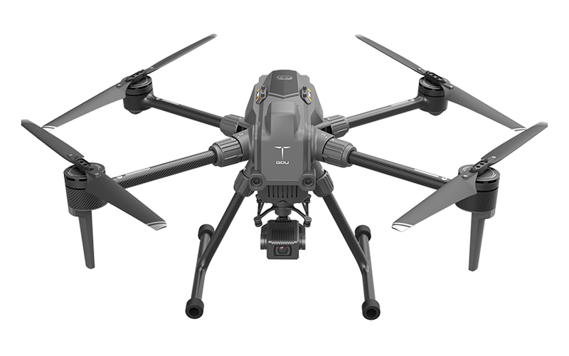 GDU
GDU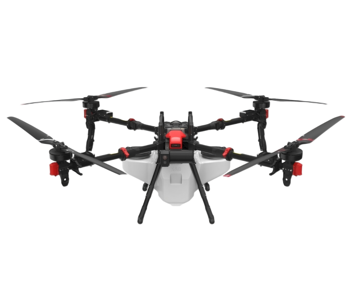 XAG
XAG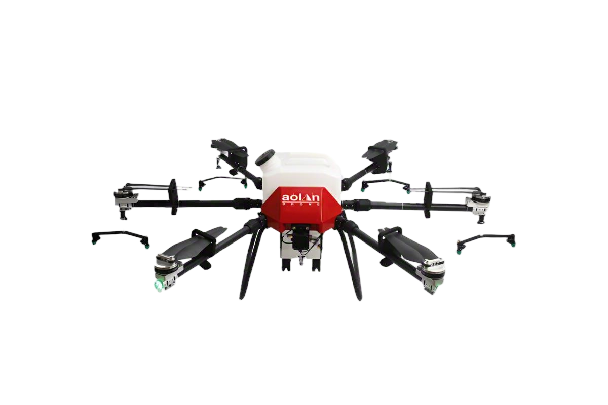 AOLAN
AOLAN KEEL
KEEL SKY NEXT
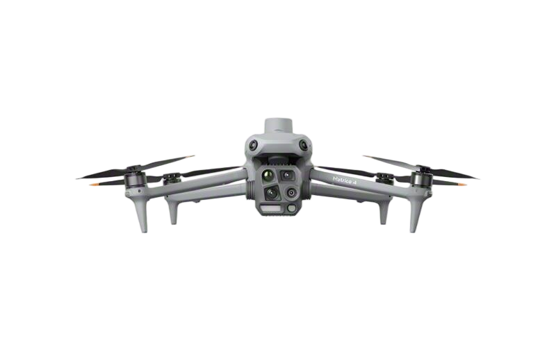
- DJI Matrice-4T
- DJI Matrice 4E Drone
- DJI Matrice 4TD
- DJI Matrice 30T
- DJI Mavic 3 Emterprise
- DJI Mavic 3M Multispectral Drone
- DJI RC 2 Plus Industry Plus
- DJI Matrice 4 Series Battery
- DJI Matrice 4D Series Batteries
- TB65 Intelligent Flight Battery
- TB100 Smart Flight Battery
- WB37 Battery
- DJI Accessories


Custom Construction Mapping Drones from Leading Manufacturers
When it comes to enhancing your construction projects, I can’t recommend the Construction Mapping Drone enough. As a custom solution designed specifically for the construction industry, this drone is equipped to deliver precise aerial mapping and data collection that meets the unique demands of your projects. Imagine having high-quality, real-time images and surveys right at your fingertips, streamlining the planning and execution of your builds. I’ve seen firsthand how manufacturers focus on creating durable and efficient drones that adapt to various terrains. This means you can rely on accurate data regardless of your work environment. Its user-friendly interface allows my team to operate the drone with ease, making it an asset across any job site. When quality and customization are your priorities, the Construction Mapping Drone is the tool you need to take your construction projects to new heights. Let’s elevate your business by investing in this cutting-edge technology!


Construction Mapping Drone Ahead of the Curve Where Service Meets Innovation
In the ever-evolving landscape of the construction industry, technology plays a pivotal role in enhancing efficiency and accuracy. Drones have emerged as a revolutionary tool, particularly in construction mapping. By harnessing advanced aerial imaging and data collection capabilities, these drones deliver precise measurements and invaluable insights to project managers and engineers. They streamline workflows, reduce manpower costs, and significantly cut down on project timelines, allowing for a more agile response to the dynamic needs of construction sites. Our commitment to service and innovation ensures that we stay ahead of the curve in drone technology. We offer state-of-the-art mapping solutions that integrate seamlessly with existing workflows, providing real-time data analysis that drives informed decision-making. Whether it’s for site inspections, progress tracking, or resource allocation, our drones empower stakeholders with comprehensive visuals and analytics that enhance project transparency and communication. As global procurement continues to seek smarter solutions, investing in cutting-edge drone technology for construction mapping is a strategic move. It not only enhances operational efficiency but also positions businesses to lead in a competitive market, fostering sustainable practices and minimizing environmental impact. By embracing innovation, companies can execute projects with greater precision and adaptability, setting new standards in the realm of construction.
Construction Mapping Drone Ahead of the Curve Where Service Meets Innovation
| Dimension | Description | Value |
|---|---|---|
| Flight Time | Duration the drone can operate on a single charge | 30 minutes |
| Camera Resolution | Quality of images captured by the drone | 12 MP |
| GPS Accuracy | Precision of the drone's location tracking | Within 5 meters |
| Payload Capacity | Maximum weight the drone can carry | 2 kg |
| Transmission Range | Distance over which data can be transmitted | 500 meters |
| Operating Temperature | Temperature range for optimal operation | -10°C to 40°C |
Related Products


Construction Mapping Drone Delivers Unmatched Quality Custom Solutions,
Top Selling Products


- Related Blog
- Reviews
- Reviews
