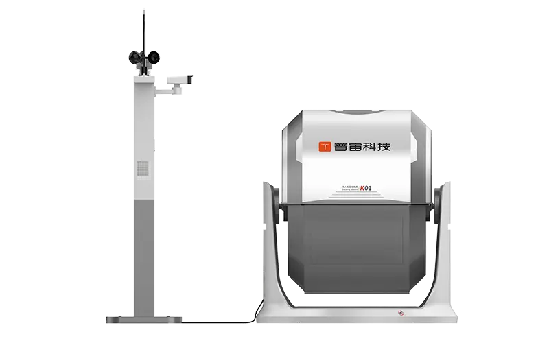
 GDU
GDU
 DJI
DJI MMC
MMC GDU
GDU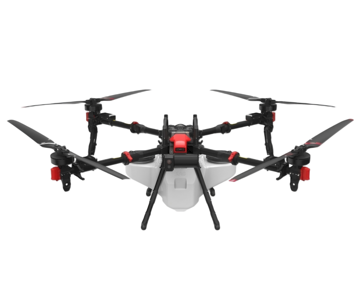 XAG
XAG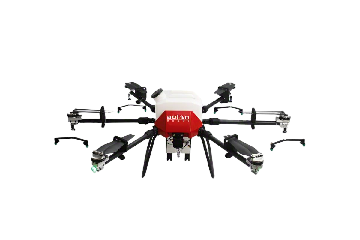 AOLAN
AOLAN KEEL
KEEL SKY NEXT
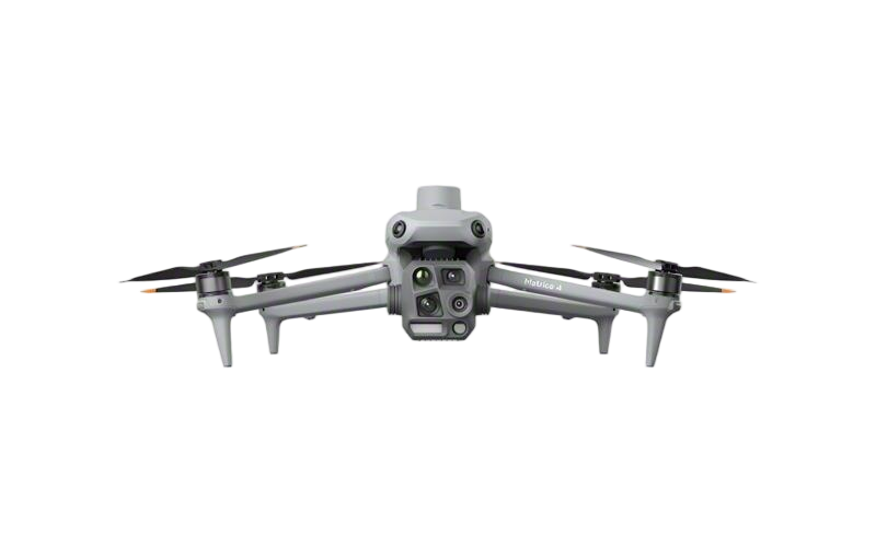
- DJI Matrice-4T
- DJI Matrice 4E Drone
- DJI Matrice 4TD
- DJI Matrice 30T
- DJI Mavic 3 Emterprise
- DJI Mavic 3M Multispectral Drone
- DJI RC 2 Plus Industry Plus
- DJI Matrice 4 Series Battery
- DJI Matrice 4D Series Batteries
- TB65 Intelligent Flight Battery
- TB100 Smart Flight Battery
- WB37 Battery
- DJI Accessories

Thermal drones have really started to change the game across a bunch of different industries. I saw in this report from MarketsandMarkets that the thermal imaging market is expected to hit around $10.3 billion by 2025—that's pretty impressive! A big reason for this boom is how much more we’re relying on this kind of tech for serious applications.
Take agriculture, for example. Farmers are now using thermal drones to keep an eye on their crops more easily. They can spot issues with irrigation or plants that are under stress—stuff that might’ve been hard to see before. This helps them get better yields and use resources smarter. And then there’s the insurance world—companies like Geico are actually using these drones to check out damages more accurately. But, honestly, a lot of folks forget how important calibration is. If your drone isn't properly calibrated, you'll get some pretty misleading info, and that kinda defeats the purpose.
It’s also crucial for users to tweak their approach based on where they’re flying and what the weather’s like. Different conditions can really affect how well thermal imaging works. So, it pays to get familiar with your gear, keep learning, and don’t be afraid to make adjustments along the way. By doing all this, you can really boost how efficiently you’re using thermal drones—that's the key to getting the most out of them.

Understanding the Fundamentals of Thermal Imaging Technology in Drones

Thermal imaging technology captures infrared radiation. It transforms heat signatures into visible images. This capability is invaluable in various applications. For instance, it can detect heat loss in buildings or identify overheating components in machinery. The images generated can reveal issues that are not visible to the naked eye.
When operating thermal drones, understanding temperature ranges is crucial. Different materials emit infrared radiation differently. For example, metal reflects thermal energy while wood absorbs it. A drone operator must analyze these characteristics to interpret data correctly. Sometimes, the results can be misleading. A cold surface might appear hot due to environmental factors, leading to erroneous conclusions.
Learning to adjust the sensitivity settings on thermal drones can also enhance effectiveness. High sensitivity captures subtle heat variations, while lower sensitivity simplifies the image. It can be easy to overlook this fine-tuning. Finding the right balance is essential for accurate readings. The complexities of thermal imaging require ongoing practice and reflection, especially in challenging environments.
Revolutionizing Aerial Thermal Imaging: The DJI Matrice 4T and DJI Care Enterprise Explained
Aerial thermal imaging has taken a significant leap forward with the latest innovations in drone technology. The integration of dual visible and thermal imaging capabilities provides unparalleled precision for inspections across various industries, including energy, infrastructure, and agriculture. Utilizing advanced sensor technology, these systems can capture high-resolution thermal images and detailed visual data simultaneously, enabling users to detect anomalies and assess conditions efficiently.
According to industry reports, the demand for thermal drones has surged, with the global thermal imaging market expected to reach approximately $9 billion by 2025. This growth is driven by the need for reliable inspection tools that can operate in challenging conditions and deliver actionable insights quickly. The combination of thermal imaging with aerial capabilities facilitates inspections of power lines, solar farms, and building envelopes, making it possible to identify issues such as overheating equipment or moisture intrusion before they develops into costly problems.
Furthermore, the reliability and safety of drone inspections are enhanced through intelligent flight planning and automated data collection, minimizing human error and improving data accuracy. This technological advancement not only streamlines operational workflows but also significantly reduces the time required for inspections, offering a clear advantage in fast-paced industries where efficiency and accuracy are paramount. As aerial thermal imaging continues to evolve, it stands poised to revolutionize the way we approach inspections, leading to smarter, safer, and more efficient operations across multiple sectors.

FAQS
: This service aims to provide users with reliable information and support. It focuses on various needs and inquiries.
You can access it online via a website or app. Just make sure you have a stable internet connection.
Most features are free to use. Some advanced options may require a small fee. Always check before proceeding.
You may need to submit personal details for registration. Ensure your information is accurate for a smooth experience.
Data protection measures are in place. However, no system is perfect, so always remain cautious. Your awareness matters.
Yes, customer support is available. You can reach out through chat or email for help with any issues.
Feedback is important. If the service doesn’t meet your expectations, let them know. It helps improve the platform.
Response times can vary. Generally, you can expect a reply within a few hours. Patience is sometimes needed.
Users must adhere to guidelines. Misuse can lead to suspension or termination of access. Always follow the rules.
Yes, you can update your details easily. However, ensure changes are necessary and accurate. Mistakes can complicate things.
Conclusion
The article "Top Tips for Using Thermal Drones Effectively" provides a comprehensive overview of how to harness the capabilities of thermal drones for various applications. It begins with a foundational understanding of thermal imaging technology that underlies drone operations, highlighting its significance in environmental monitoring and inspections. By elucidating the key advantages of thermal drones, the article emphasizes their role in detecting heat differences, which can be crucial for identifying issues like energy loss or wildlife tracking.
Furthermore, the article outlines best practices for calibrating thermal sensors to ensure accurate data capture, along with optimal flight conditions that enhance the effectiveness of thermal imaging applications. It also offers guidance on interpreting thermal images for precise assessment and analysis while addressing safety considerations when operating these drones in diverse environments. Through case studies, readers can see successful applications of thermal drones across various industries, showcasing their versatility and the importance of informed usage.
Related Posts
-

Best Thermal Drones for Aerial Inspections and Monitoring?
-

Top 10 Logistics Drones Transforming Delivery Services?
-

How to Use Agriculture UAV Drones for Efficient Farming?
-

How to Choose the Best Commercial UAV Solutions for Your Business Needs
-

Spray Drone Tips for Efficient Crop Management and Protection?
-

How to Choose the Best Crop Spraying Drones for Your Farm?
