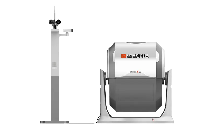
 GDU
GDU
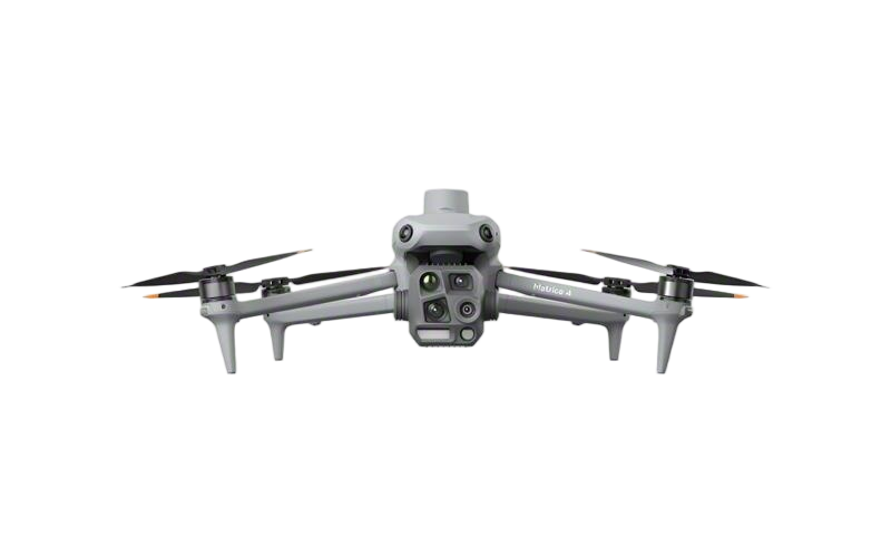 DJI
DJI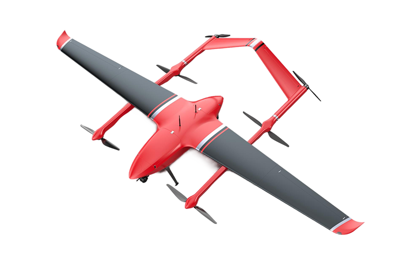 MMC
MMC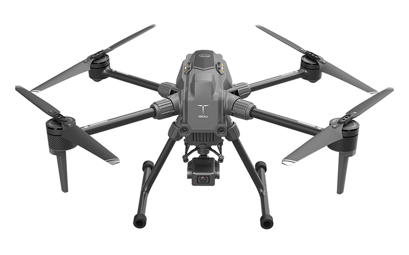 GDU
GDU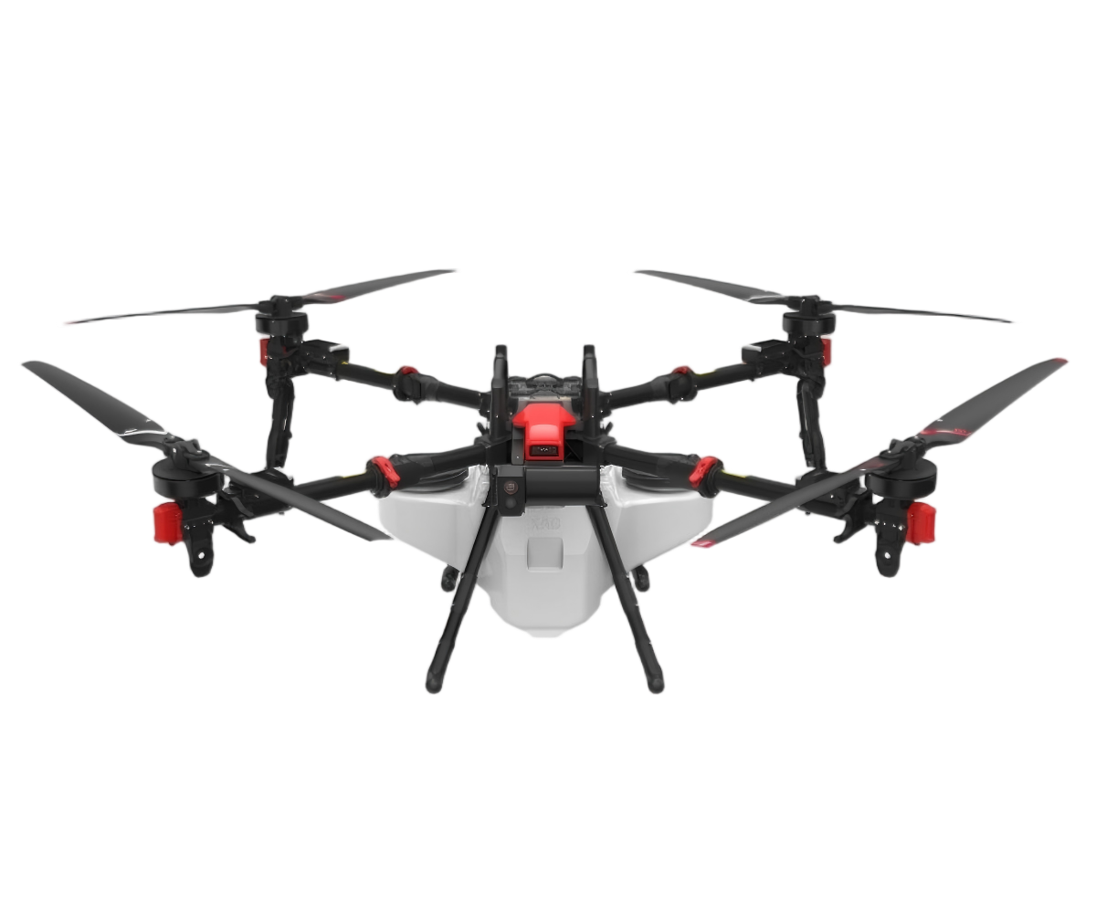 XAG
XAG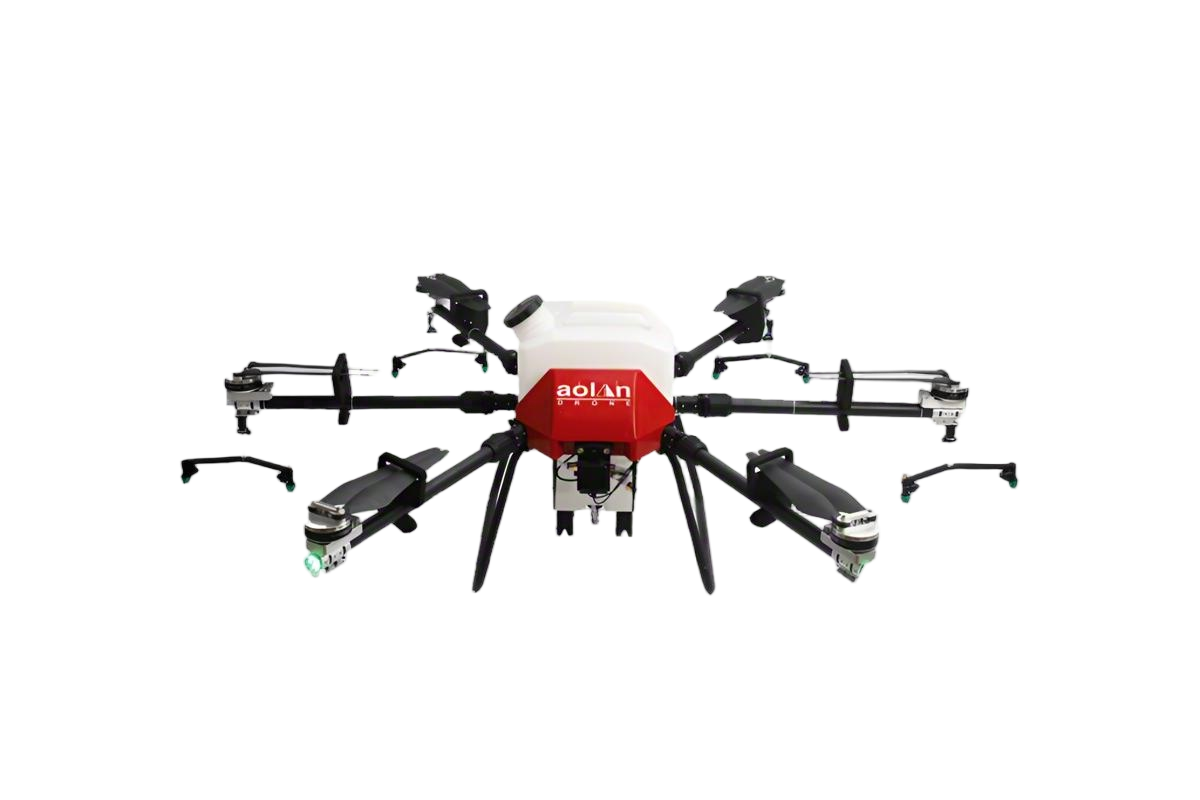 AOLAN
AOLAN KEEL
KEEL SKY NEXT
- DJI Matrice-4T
- DJI Matrice 4E Drone
- DJI Matrice 4TD
- DJI Matrice 30T
- DJI Mavic 3 Emterprise
- DJI Mavic 3M Multispectral Drone
- DJI RC 2 Plus Industry Plus
- DJI Matrice 4 Series Battery
- DJI Matrice 4D Series Batteries
- TB65 Intelligent Flight Battery
- TB100 Smart Flight Battery
- WB37 Battery
- DJI Accessories

Industrial drones have really changed the game for aerial surveys and inspections across various industries. Companies like DJI and senseFly are pretty much leading the charge with their innovative tech. These unmanned aerial vehicles make collecting and analyzing data way more efficient — it’s actually pretty impressive.
Over the past few years, the role of these drones has expanded a ton. From mapping out terrains to inspecting infrastructure, they’re becoming a go-to tool. But, of course, it’s not all smooth sailing — there are still hurdles. Things like limited battery life and tricky weather conditions can really throw a wrench in operations. So, users need to stay flexible and ready to adapt as situations change.
And here’s the thing: while lots of drones come packed with fancy features, not all of them are super easy to use. Some models require serious training, which can be a major dealbreaker for smaller businesses trying to jump into aerial tech. Picking the right drone isn't just about features; it’s about making sure it fits your needs so you can get the best results during surveys. Thinking it through carefully makes all the difference if you wanna make the most out of using drones in your work.

Overview of Industrial Drones in 2026
In 2026, industrial drones have advanced significantly, transforming aerial surveys and inspections. These drones now feature high-resolution cameras and advanced sensors, enabling precise data collection. Their ability to operate in tough environments enhances their utility in various industries. For instance, they can easily navigate complex structures like bridges and tall buildings.
Despite the advancements, challenges remain. Weather conditions can impact flight stability, leading to incomplete data. Additionally, operators must still ensure compliance with safety regulations. This can make the process challenging, especially for newcomers. Generally, the learning curve is steep but essential for effective operation. Users continue to seek reliable training resources to overcome these hurdles.
The integration of AI is notable, allowing for real-time data analysis. However, this technology needs further refinement. Data accuracy is vital but not always guaranteed. Moreover, some drones struggle with battery life, limiting flight duration. These limitations are critical considerations for potential users. Finding the right balance of technology and user experience will be crucial for the future of industrial drones in inspections.

FAQS
: Customer feedback helps improve services. It identifies strengths and weaknesses. Companies can enhance user experience.
You can submit feedback via surveys, emails, or online forms. Choose a method that suits you best.
Your feedback contributes to future improvements. It provides insights that may be overlooked. Every voice matters.
Changes may take time. It depends on the nature of the feedback. Some might be quick, others slow.
Yes, many platforms allow anonymous submissions. This ensures honesty without fear of repercussions.
Sometimes feedback may be overlooked. It’s helpful to follow up. Persistence shows your interest in improvement.
Often, there are no direct rewards. However, your input influences better services for everyone. That’s a reward too.
Feedback can lead to changes, but not always immediate. Decisions depend on various factors and priorities.
Companies often categorize feedback by impact. Urgency and frequency also play a role in decision-making.
While responses vary, not all feedback gets personal replies. Sometimes a general acknowledgment is sent.
Conclusion
The article "2026 Best Industrial Drones for Aerial Surveys and Inspections" provides a comprehensive overview of the evolving landscape of industrial drones in 2026, emphasizing their pivotal role in aerial surveying and inspection tasks. Key features essential for these applications are discussed, such as advanced imaging capabilities, flight endurance, and data processing efficiencies. The article also highlights various top industrial drone models suited for these purposes, alongside a comparative analysis of the technologies that enhance inspection efficacy.
Furthermore, regulatory considerations are addressed, emphasizing the importance of compliance in drone operations. It looks ahead to future trends indicating how industrial drones will increasingly integrate with emerging technologies and emphasizes best practices for optimizing aerial survey and inspection operations. This synthesis of information assists businesses in navigating the complexities of adopting industrial drones for enhanced operational efficiency.
Related Posts
-

How to Choose the Best Enterprise UAVs for Your Business Needs
-

Top 5 Enterprise Drones Transforming Business Operations?
-

How to Choose the Right Enterprise UAV for Your Business?
-

How to Choose the Best Commercial Drones for Your Business?
-

How to Choose the Best Commercial Drones for Your Business?
-

How to Choose the Best Professional Drones for Your Needs?
